


Columbus, Ohio — The Ohio Department of Natural Resources (ODNR) Division of Geological Survey rang in the new year with the official launch of a refreshed version of the Ohio Geology Interactive Map (OGIM), a key online tool for exploring the state’s rich geologic history and resources
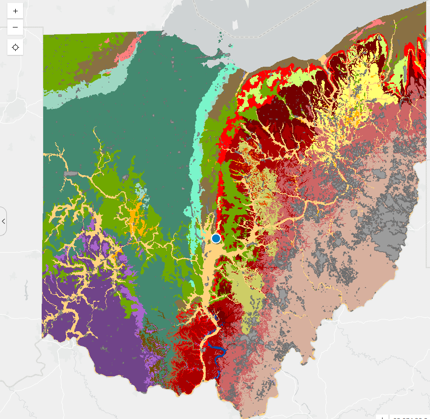
The updated OGIM features new search and visualization tools, an improved user interface, and enhanced accessibility considerations, reinforcing ODNR’s commitment to “#GeoscienceForEverybody.” The application serves as the primary platform for public access to extensive geologic data, allowing users to view, interact with, and download information on everything from ancient bedrock to modern groundwater resources.”This upgrade makes it easier than ever for Ohioans — from educators and researchers to homeowners and industry professionals — to explore and understand our state’s geology,” the Division announced.

Users can access the map at ohiodnr.gov/ogim, where desktop and mobile compatibility enable the creation of custom geologic maps for specific areas of interest.
Water Wells and Groundwater Layer — Providing access to well logs, aquifer details, and potentiometric surfaces for subsurface investigations.
Other available layers include geologic hazards such as earthquake epicenters and OhioSeis seismic stations, coastal erosion along Lake Erie, aggregate resources like sand-and-gravel thicknesses, and groundwater vulnerability indexes.
The OGIM is designed for a wide audience, supporting research into Ohio’s geologic structure, materials, hazards, and water resources. For questions or guidance on map features, users can refer to the built-in help sections or contact the Division of Geological Survey.
This update marks a continued effort by ODNR to make geoscience data more accessible and user-friendly in 2026.


